Workshop on Mining Imaging Data
for Hydrological and Environmental Modelling
Bridging Earth Observation, Computer Vision & Environmental Modelling
Submission deadline countdown
About the Workshop
What is HydroImaging?
A focused half-day workshop at the crossroads of image processing, remote sensing, and environmental science.
Earth Observation is a rapidly growing research field that combines computer vision, machine learning, and signal/image processing to address some of the most pressing challenges related to climate change, the water cycle, and environmental attribute prediction - including water quality, snow depth, vegetation cover, and pollution.
HydroImaging brings together experts in machine vision, satellite observation, machine learning, remote sensing, hydrology, and land-surface modelling. The workshop fosters collaboration between the Computer Vision, Remote Sensing, and Environmental Monitoring communities, and builds bridges between IEEE technical societies including GRSS, SPS, SSIT, and CIS.
With the rapid advances in multi-modal sensing, large-scale datasets such as Copernicus, and the growing ecosystem of pretrained foundation models, the workshop aims to catalyse new collaborations enabling scalable, observation-driven prediction for operational environmental use.
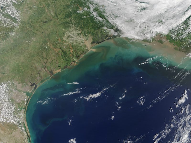 Flood Mapping
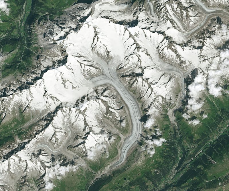 Glacier Monitoring
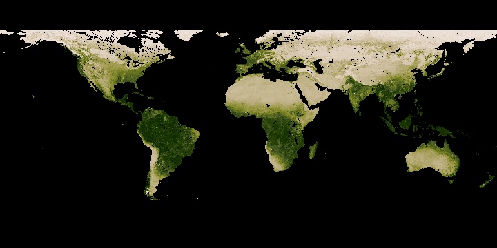 Vegetation Analysis

Invited Speakers
Keynote & Invited Talks
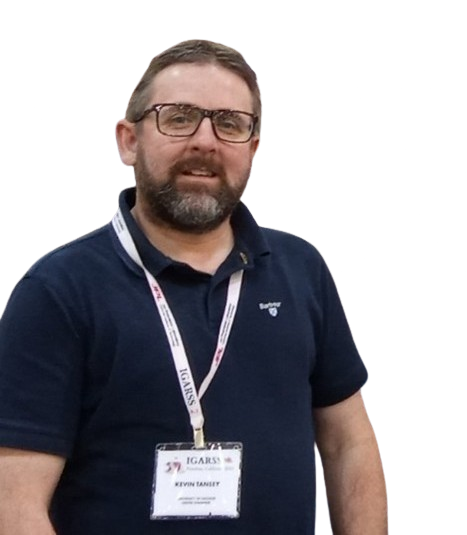
"From Fields to Fires to Fens: Integrating Deep Learning and Multi-Sensor Earth Observation for Global Environmental Resilience"
Program
Workshop Program
A focused half-day program. Detailed schedule will be published after acceptance notifications.
September 17, 2026 · 09:00 AM–12:00 PM
Keynote
Invited Keynote Address
An invited keynote from a leading researcher in Earth Observation or environmental AI, sponsored by the Digital Water Flagship initiative.
Oral Session
Oral Paper Presentations
Selected accepted papers presented as full oral talks, each 15–20 minutes including audience Q&A.
Break
Coffee Break & Networking
An opportunity to connect with fellow researchers and continue informal discussions.
Poster Session
Poster Presentations
Each poster author presents a 5-minute spotlight, followed by an interactive poster viewing session with direct author engagement.
Award & Closing
Best Paper Award & Closing Remarks
Recognition of the best paper and poster contributions, followed by an open discussion on future research directions in the field.
Call for Papers
Submit Your Research
We welcome contributions on methods, applications, and open-data initiatives at the frontier of imaging and environmental science.
Topics of Interest
Methods & Models
- Data-centric machine learning for remote sensing data
- Language and vision models (LLMs, CLIP, Visual Language Models)
- Data assimilation for image/temporal resolution discrepancy
- Multi-modal fusion for parameter estimation and prediction
- Generative models (GANs, diffusion) for remote sensing
- Explainability and interpretability of environmental AI
- Super-resolution and image reconstruction
Applications
- Disaster relief and flood detection & mapping
- Snow and water prediction
- Coast, sea, and marine monitoring
- Pollution and air/water quality analysis
- Sustainable and intelligent agriculture
- Climate change and geoscience applications
- Urban planning and phenological studies
Open Data & Benchmarks
- New open datasets for remote sensing and hydrology
- Annotated imaging datasets for environmental analysis
- Reproducible pipelines and evaluation benchmarks
Submission Guidelines
Select the Satellite Workshop Papers track, then choose Satellite Workshop Papers from the workshop list.
Contact UsImportant Dates
Key Deadlines
All deadlines are at 23:59 AoE (Anywhere on Earth).
Paper Submission
Reviews Due
Rebuttal Period
Acceptance Notification
Final Manuscript
Author Registration
HydroImaging Workshop
Half-day workshop program
Organization
Workshop Organizers
An international team with expertise spanning computer vision, machine learning, remote sensing, and environmental science.


Supported By
Sponsors & Partners
HydroImaging workshops are proudly supported by leading research initiatives working at the intersection of technology, water, and climate.
 Digital Water Flagship
Keynote Sponsor
Digital Water Flagship
Keynote Sponsor
 Climate AI Nordics
Partner
Climate AI Nordics
Partner